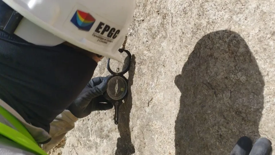
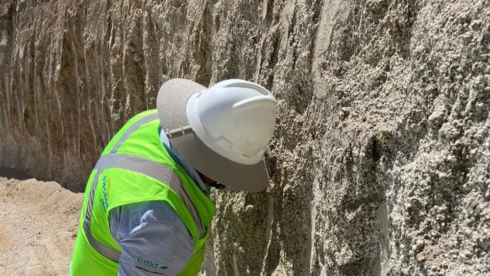
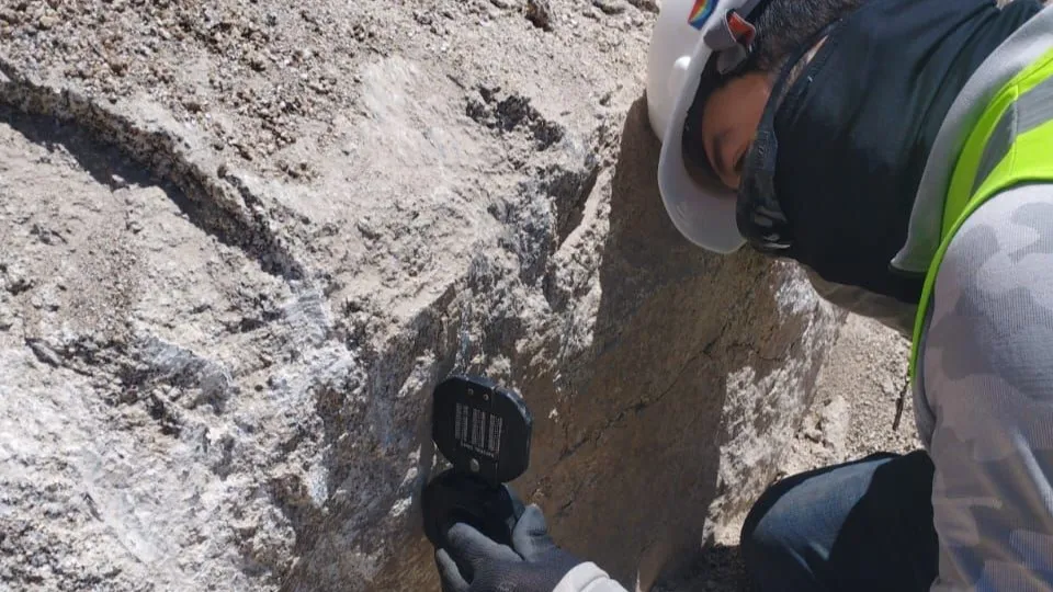
Geological Surveys

Detailed Geological Exploration

Our Geological Survey service allows us to obtain geological and hazard maps that represent the geological characteristics of the surface of the projects to be studied.

Geological Surveys

We conduct direct field inspections both regionally and at specific sites of interest. This geological survey provides diverse information about the area and the on-site materials (lithology), allowing for an understanding of the general and detailed geological environment, identifying significant structures such as folds, faults, thrusts, and fractures (structural geology), and gaining knowledge of geomorphology, current erosive processes, and the types of surface and subsurface drainage.

Structural Geology

In structural geology, we handle the study of deformations that occur in the Earth's crust. In structural geology, geological structures are analyzed, including geological plans of primary structures (stratum direction, magma flows, etc.) and secondary structures (faults, fractures, joints, etc.).

Geological Risk Identification

We provide Geological Risk Identification, which refers to catastrophes caused by natural phenomena divided into three groups. Those directly originate from internal geological processes (volcanoes, earthquakes, and tsunamis). Those are directly derived from the dynamics of external geological processes (floods and gravitational movements). And risks caused by interaction and human modification.
error: Content is protected !!
en_USEnglish