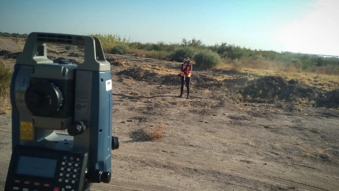
Our topographic services are to know the altimetric (vertical) and planimetric (horizontal) configuration of an area on the earth's surface.
Planimetric and Altimetric Surveying
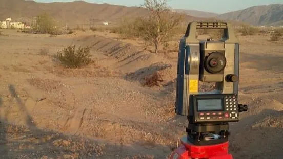
Topographic Surveying for Engineering Projects
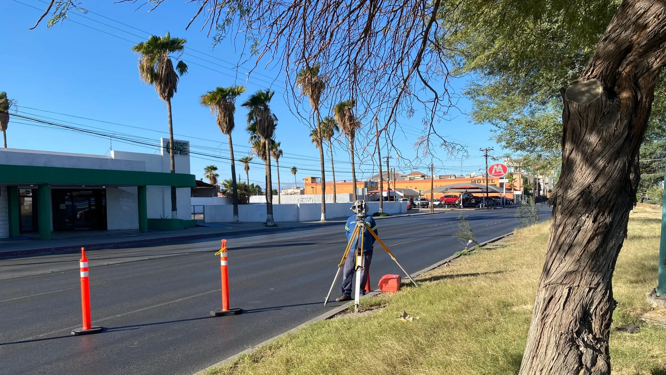
Physical Infrastructure Surveys
Planimetric and Altimetric Surveying
This type of survey is performed when you want to know the location and vertical configuration of a property, road or land surface.
Topographic Surveying for Engineering Projects
This work is done to establish the basics for engineering projects, especially those related to infrastructure construction, and is required by engineers, architects, and contractors.
Physical Infrastructure Surveys
It is performed when it is necessary to know in detail the location and dimensions of existing infrastructure on a street, in a building, or a community.