Geophysical Prospecting

Exploring the World Beneath Our Feet

EPGC offers advanced geophysical prospecting studies that can reveal the hidden properties of soils and rocks, facilitating the planning and execution of your construction and exploration projects.

Geophysical Prospecting

Cross-Hole (CH)

A method that determines the velocities of "P" compression waves and "S" shear waves, the Poisson's ratio, and the shear modulus G and elasticity modulus E. It is also used to detect anomalies between wells and characterize defects in foundations.

Ambient Vibration (VA)

Utilizes microtremors and the H/V spectral ratio technique to estimate the fundamental frequency of the ground, especially in urban areas. It records natural noise using triaxial sensors, providing a precise measure of the seismic response of the site.

Spatial Autocorrelation Test (SPAC)

A passive seismic technique that analyzes microtremors recorded simultaneously by an array of 4 to 7 stations. It calculates the phase velocity of surface waves to estimate structural velocity models of the subsurface, assuming spatial and temporal stationarity.

Down-Hole (DH)

A method that measures the variation in wave propagation velocity with depth, using low-deformation in-situ tests. Excitation is induced from the surface and recorded using a geophone in a prepared borehole, sending data to a seismograph for analysis.

Multichannel Analysis of Surface Waves (MASW)

Utilizes the dispersive properties of surface seismic waves (Rayleigh waves) to study frequencies from 1-30 Hz at depths of several tens of meters. Linear array geophones are employed to record and analyze the waves, generating velocity and depth models from dispersion curves.

Seismic Refraction Tomography (TRS)

This method is based on the propagation of seismic energy through the subsurface layers to identify the contacts between materials with different wave velocities. It uses a surface impulse to generate movements that are detected by geophones, allowing the calculation of the velocity of each refractory layer through seismograms and time-distance curves.

Geoelectrical and Thermal Prospection

Vertical Electrical Sounding (VES)

A method that measures the soil's resistivity to optimize earthing systems and protect electrical installations. Resistivity measurements are taken at the surface at different distances between electrodes, allowing the determination of the structure and resistivity of the subsurface layers.

Electrical Resistivity Tomography (ERT)

A multielectrode technique that measures the real 2-D resistivity of the subsurface by positioning electrodes on the surface at constant intervals. This aims to determine the real resistivity distribution of the subsurface by analyzing the current and voltage between electrodes, which helps identify geological structures or anomalies.

Thermal Resistivity

A physical property of materials that measures their capacity to resist the transfer of heat. Characterizing this property in the subsurface allows for the creation of an adequate cabling system; these tests are conducted according to the IEEE STD 442-1981 IEEE Guide for Soil Thermal Resistivity Measurements.

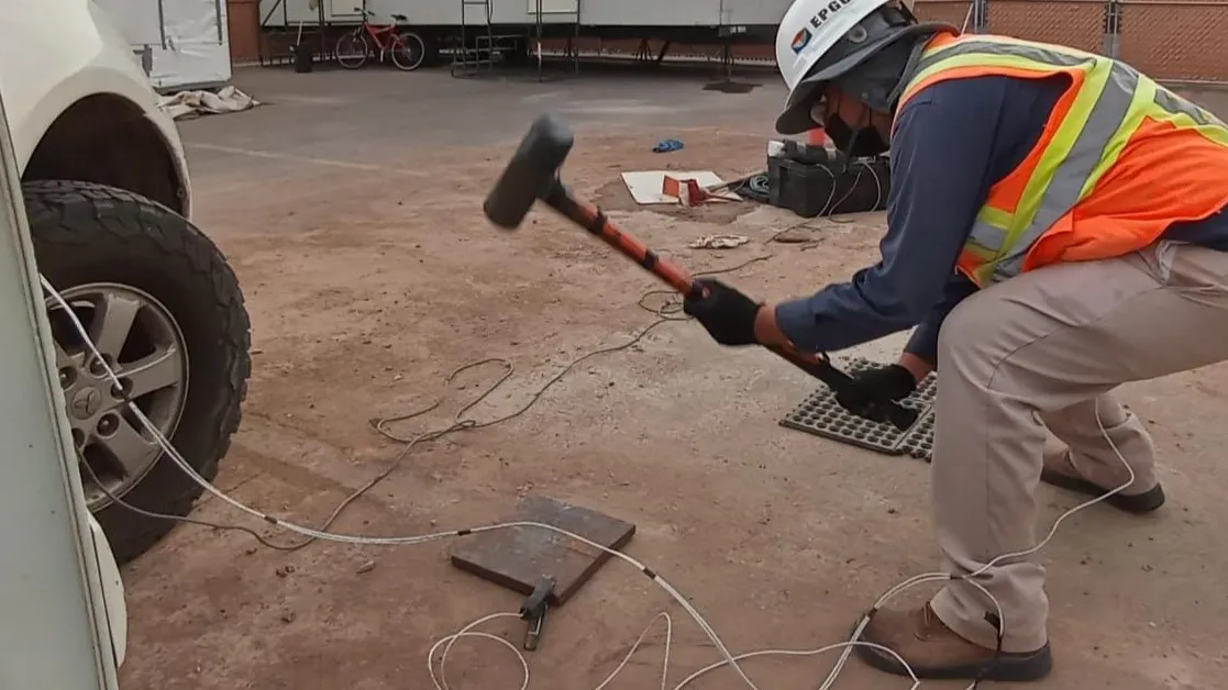
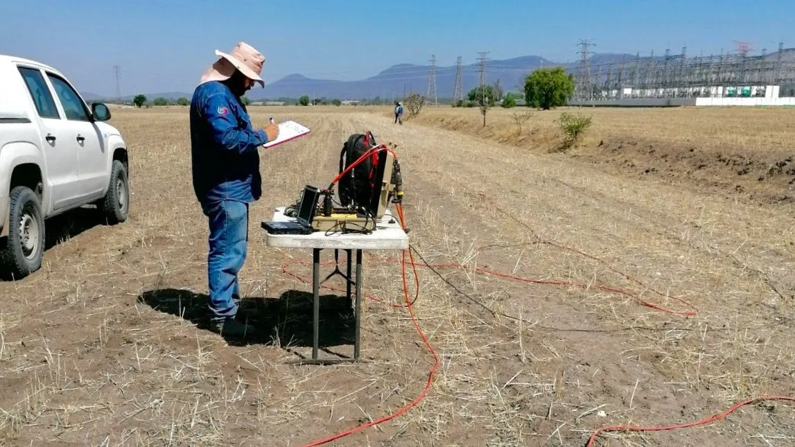
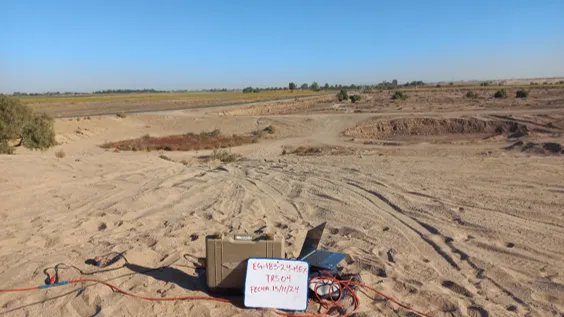
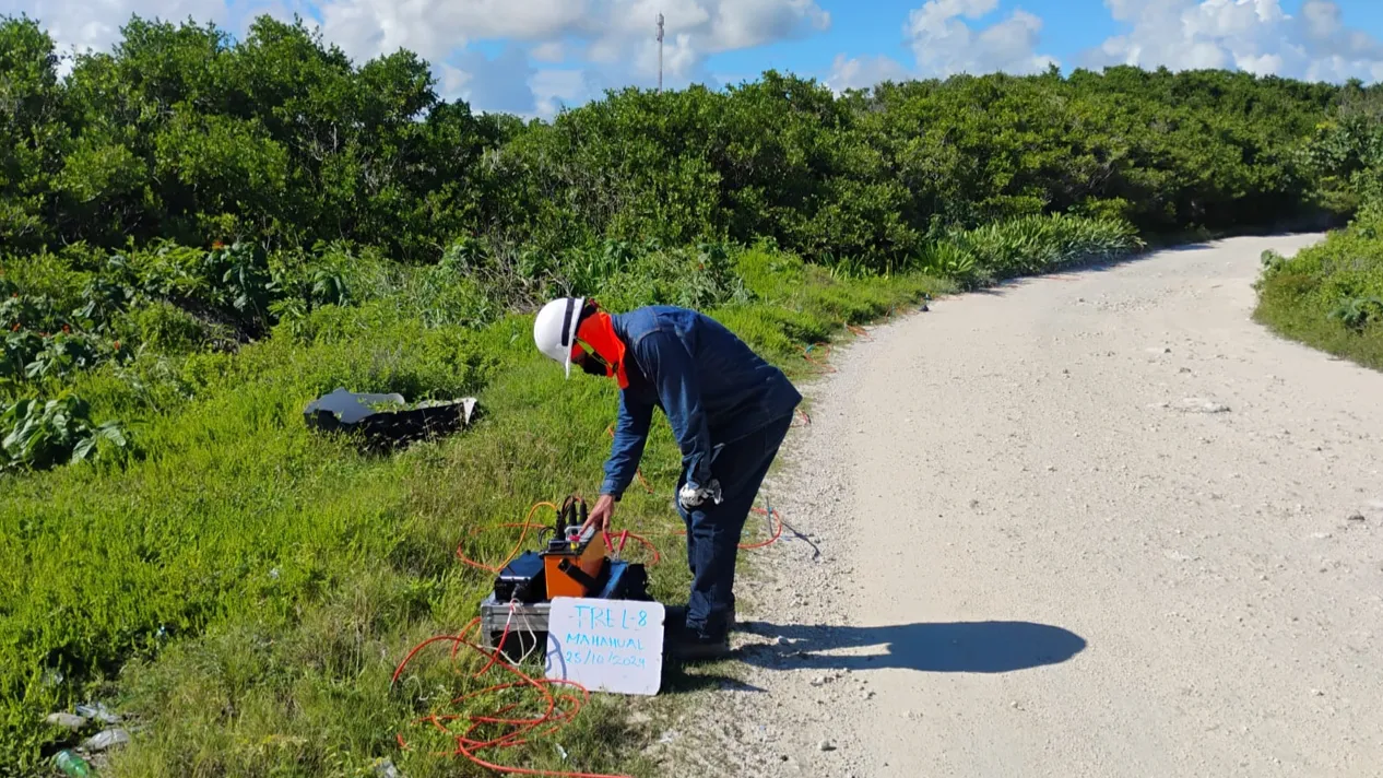
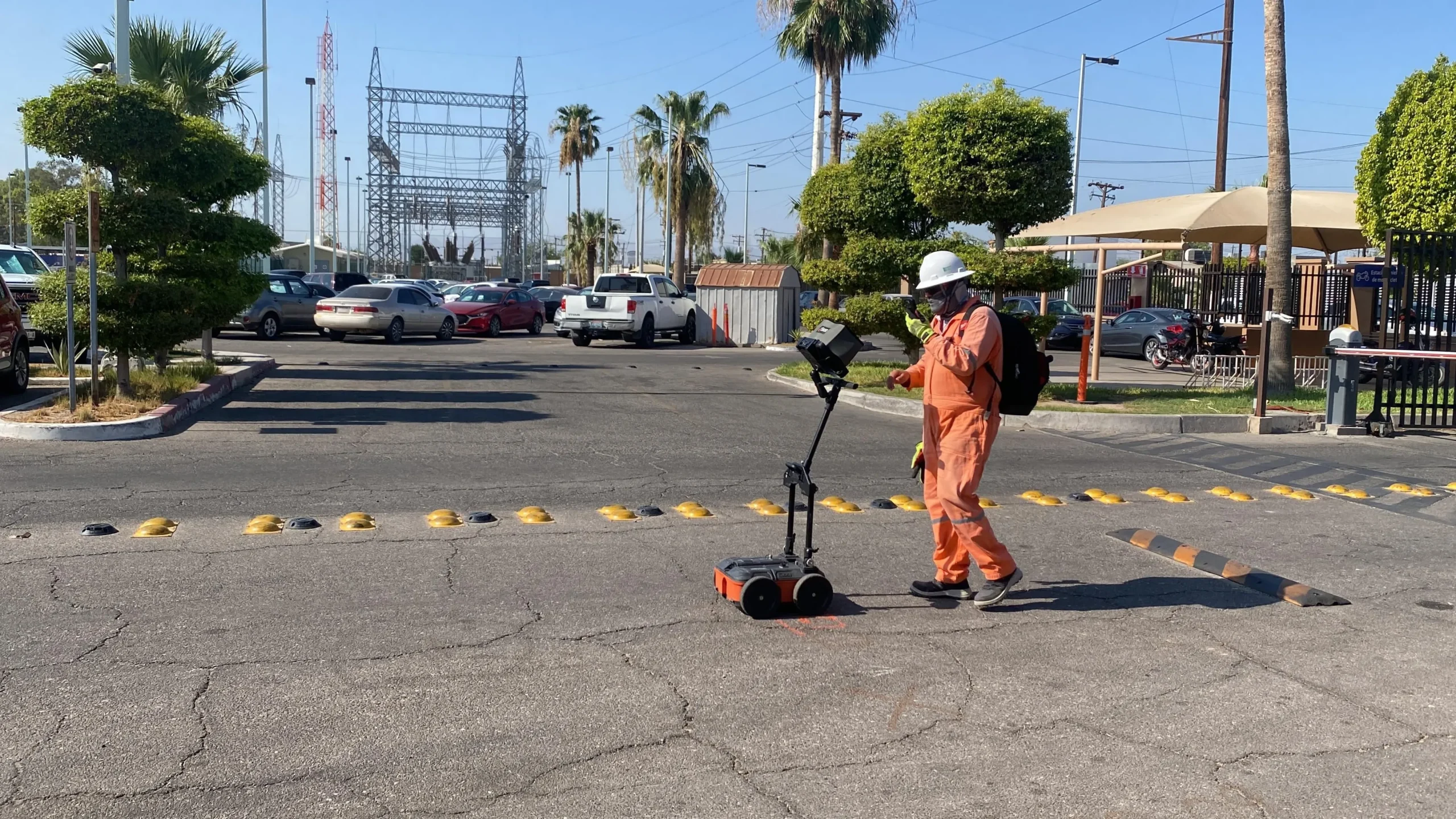
Ground Penetrating Radar (GPR)

The ground penetrating radar (GPR) technique involves the emission of radar pulses (electromagnetic radiation) and operates within a frequency range of 10 Hz to 1.2 GHz. It is used to superficially map the subsurface. Depending on the type of antenna used, the penetration depth will vary. Its main applications are for detecting pipelines, public services, and environmental works.

Integrity Testing in Deep Foundations

We detect potential anomalies in deep foundations through integrity testing using low-strain impact methods (ASTM D5882-07), ensuring structural quality from the foundations.
error: Content is protected !!
en_USEnglish